Apache Trail,
Arizona State Route 88
Marker:
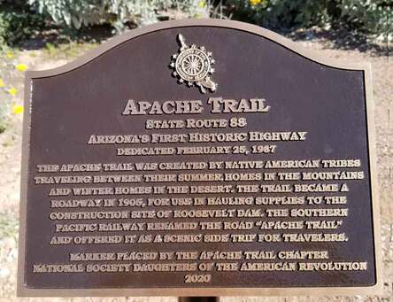
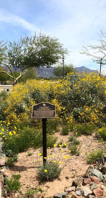
Historical plaque near the southwest end of the Apache Trail
Location:
Flatiron Park
100 N. Apache Trail
Apache Junction, Pinal County, Arizona
33.417358, -111.5483988
Historical Significance:
The Apache Trail was created by Native American tribes traveling between their summer homes in the mountains and winter homes in the desert. The trail became a roadway in 1905 for use in hauling supplies to the construction site of Roosevelt Dam. The Southern Pacific Railway renamed the road “Apache Trail” and offered it as a scenic side trip for travelers.
Currently also known as Arizona State Route 88, it runs northeast from its highway intersection with U.S. Route 60. The trail ends at Roosevelt Dam where it meets Arizona State Route 188 after passing:
- Goldfield, a ghost town that is now a commercialized tourist site reminiscent of an old mining town
- Lost Dutchman State Park with numerous hiking trails
- Tonto National Forest
- Roosevelt Dam on the Salt River, an engineering marvel and boon to Arizona when it was dedicated in 1911
Tonto National Monument, near Roosevelt Dam, contains cliff dwellings built and occupied by prehistoric Salado peoples of the 14th century.
The marker reads, “Apache Trail / State Route 88 / Arizona’s First Historic Highway / Dedicated February 25, 1987 / The Apache Trail was created by Native American tribes traveling between their summer homes in the mountains and winter homes in the desert. The trail became a roadway in 1905, for use in hauling supplies to the construction site of Roosevelt Dam. The Southern Pacific Railway renamed the road “Apache Trail” and offered it as a scenic side trip for travelers. / Marker placed by the Apache Trail Chapter / National Society Daughters of the American Revolution / 2020.”
Dedicated:
February 19, 2020
Sponsor:
Apache Trail Chapter, NSDAR


